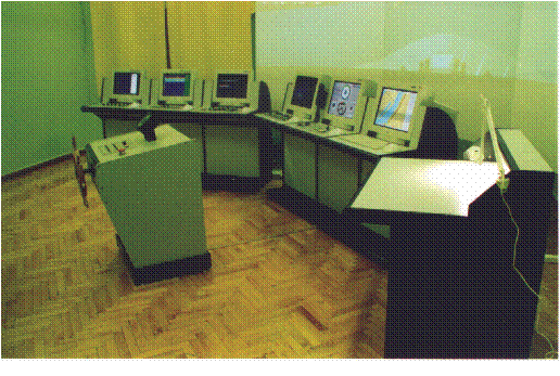
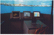
FULL SHIP-HANDLING NAVIGATIONAL SIMULATOR
(RADAR/ARPA, WATCHKEEPING AND NAVIGATION, SHIP-HANDLING)
The simulator according to the STCW-95/98 provides training in programs:
|
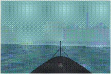
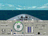
VISUALIZATION SYSTEM The visualization subsystem is based on projectors and provides the horizontal (vertical) angle of view - not less than + - 60 (-+ 10) degrees; visualization of day, twilight and night conditions of navigation (100 gradations); vizualisation of different conditions of visibility (12 gradations). Visualization coastline, coastal artifacts, ships and landmarks beacons and lights, etc. … |
|
|
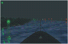
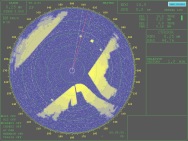
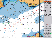
ARPA/RADAR SYSTEM Provides a simulation of a surface situation formed by: |
|
|
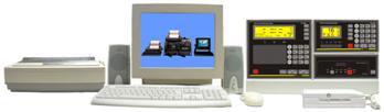
ECDIS SUBSYSTEM Provides the following features:
The ECDIS subsystem is equipped with 21" monitor. |
 |
|
GMDSS SUBSYTEM The Subsystem imitates the following communication equipment:
The indicated equipment allows communication between bridges and instructor console. |
 |
|
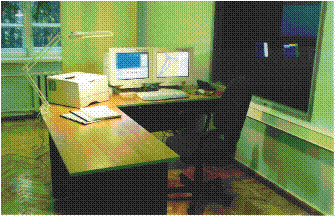
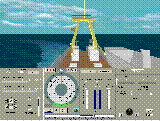
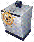
CONNING/DPS CONSOLE The Console provides the ship control, indication of ship's course and speed and other navigationnal parameters, the indication of external conditions and depth. Control of anchor gear and ship's signals. |
|